About Hunting Hubs
We gather public land boundaries, forest roads and BLM routes onto one free map, with legal shooting hours for your exact spot and GPS that keeps recording with no signal. Clubs and outfitters get one dashboard to run their operation.
On the map
What we’ve mapped
Built from public data and from the businesses themselves, with the source kept on every record. All of it sits on one free map, and you never need an account to use it.
- Clubs & outfitters
- 1,426
- Trails
- 13,096 mi
- Forest roads
- 197,629 mi
- BLM routes
- 65,130 mi
- Summits, gaps & springs
- 111,720
- Trailheads & visitor centers
- 1,912
Our story
Why we built this
A hunt starts with the land: whose it is, how to get in, and when you can legally shoot. That information is public, and it has been spread across agency maps and apps that charge a yearly subscription to show it.
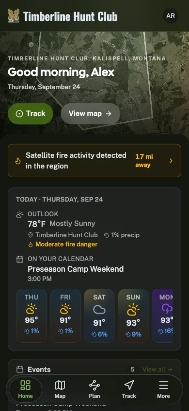
Hunting Hubs puts it on one free map. Public land boundaries, Forest Service roads and BLM routes come from the agencies that publish them, Shooting Hours gives legal light for your spot cited to your state's rule, and the GoHubs app keeps recording past the last bar of signal.
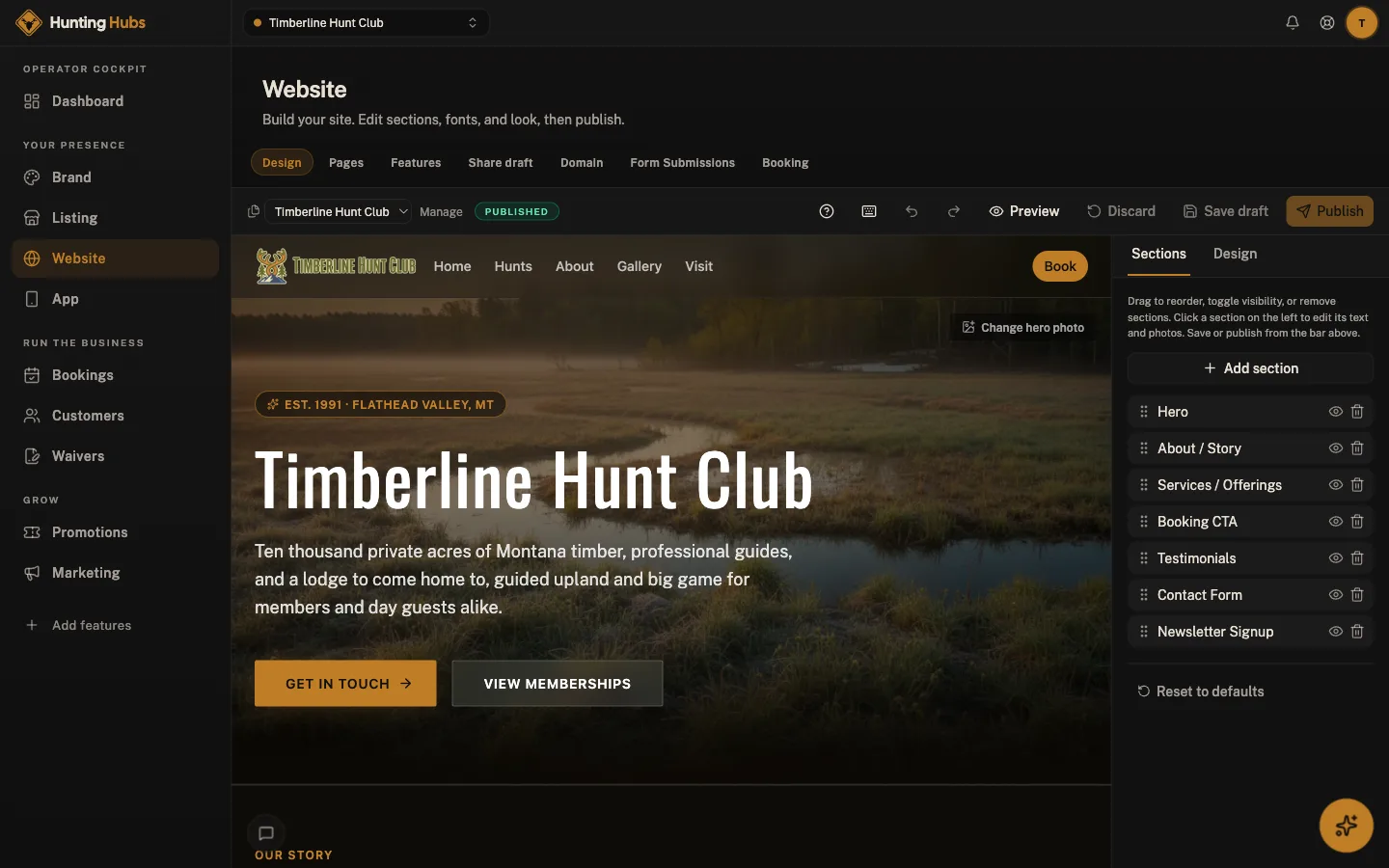
Most hunting club software is repurposed property management bolted onto a paper waiver, so clubs end up on group texts and a shared drive. Adding a listing is free, and one dashboard covers a website, bookings, waivers a member signs on their phone, and one customer record with every booking and waiver on it.
What we believe
Built for the field
Cell coverage matters. GPS tracking and waypoints keep recording with no bars at all and sync when you return to signal.
Public land, free
BLM, Forest Service and state land boundaries on the map at no cost, with no yearly subscription.
Member-friendly
Members sign waivers from any phone. No app install required.
Shooting hours, cited
Legal shooting time for your exact spot on any day, cited to your state's rule, with solunar times alongside.
Watch
GoHubs in one minute.
Every activity, one free app. See the map, conditions, route planner and trails in action.
The network
Part of the Great Outdoor Hubs network
Great Outdoor Hubs is the company behind a family of outdoor activity sites and one free app, GoHubs. Our work starts with data. Trails and forest roads, rivers and live gauges, tides and marine forecasts, public land, campgrounds and fish stocking all come from the agencies that publish them, and we keep the source attached.
Then we make it useful. The same data runs the maps, conditions, planners and listings on every site, and goes into the field with the GoHubs app, whose GPS tracks keep recording with no signal. Every site shares one platform, so a tool built for one activity reaches the rest.
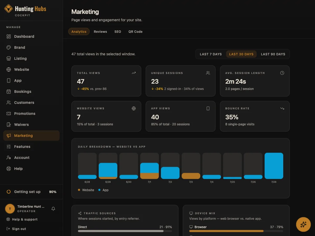
Outdoor businesses get the other half: one dashboard for their listing, website, bookings, waivers, customers and marketing, plus their own hub inside GoHubs. It is written in plain words for people who would rather be outside than at a desk, and their subscriptions are what keep the maps and tools free for everyone else.
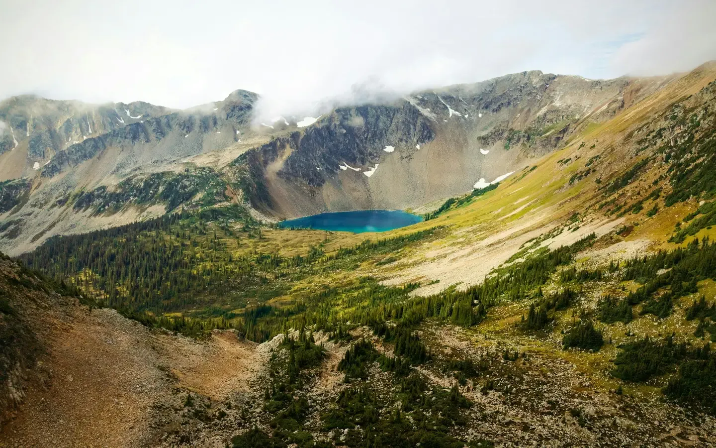
The shared platform powering fifteen outdoor community brands.

Get started
Put Hunting Hubs to work
The same toolkit that runs operators across the network is ready for yours. Start free. No card, no contract.