Find an Outfitter in any state.
- Outfitters1,503
- Trails13,096 mi
- Forest roads197,629 mi
- BLM routes65,130 mi
- Summits, gaps & springs111,720
- Trailheads & visitor centers1,912
By state
Hunting outfitters across the US
1,503 outfitters in 56 states. Texas, North Carolina and Florida have the most to choose from. Pick a state to see every outfitter there.
Texas
44 outfitters
Georgia
29 outfitters
Alabama
24 outfitters
Mississippi
25 outfitters
Pennsylvania
31 outfitters
Wisconsin
42 outfitters
Michigan
38 outfitters
Ohio
36 outfitters
Missouri
31 outfitters
Kentucky
38 outfitters
Tennessee
28 outfitters
South Carolina
42 outfitters
North Carolina
44 outfitters
Arkansas
33 outfitters
Louisiana
32 outfitters
Illinois
40 outfitters
Indiana
27 outfitters
Iowa
34 outfitters
Kansas
37 outfitters
Oklahoma
29 outfitters
Minnesota
36 outfitters
Colorado
38 outfitters
Montana
35 outfitters
Wyoming
27 outfitters
Idaho
27 outfitters
Virginia
30 outfitters
West Virginia
12 outfitters
New York
33 outfitters
Oregon
27 outfitters
Washington
21 outfitters
Alberta
21 outfitters
Alaska
25 outfitters
Arizona
21 outfitters
British Columbia
9 outfitters
California
32 outfitters
Connecticut
13 outfitters
Delaware
6 outfitters
Florida
42 outfitters
Hawaii
12 outfitters
Massachusetts
15 outfitters
Maryland
27 outfitters
Maine
33 outfitters
New Brunswick
1 outfitter
North Dakota
20 outfitters
Nebraska
30 outfitters
New Hampshire
15 outfitters
New Jersey
21 outfitters
New Mexico
23 outfitters
Nevada
20 outfitters
Ontario
24 outfitters
Quebec
28 outfitters
Rhode Island
16 outfitters
South Dakota
38 outfitters
Saskatchewan
2 outfitters
Utah
28 outfitters
Vermont
11 outfitters
Featured
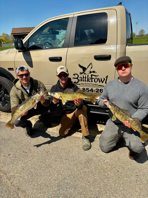
Outfitters worth booking
Outfitters with the most complete profiles, photos, and hunt details.



Loads the full map of every listing on this page. We leave it off by default so the page opens fast on mobile data.
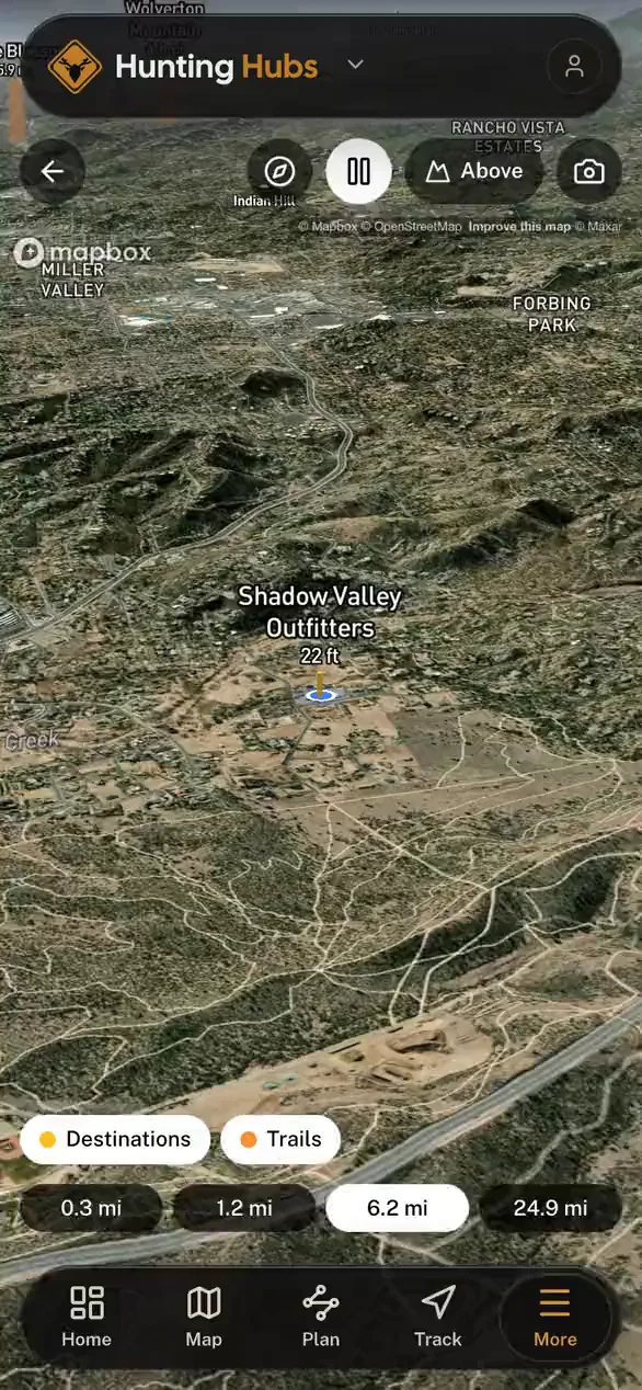
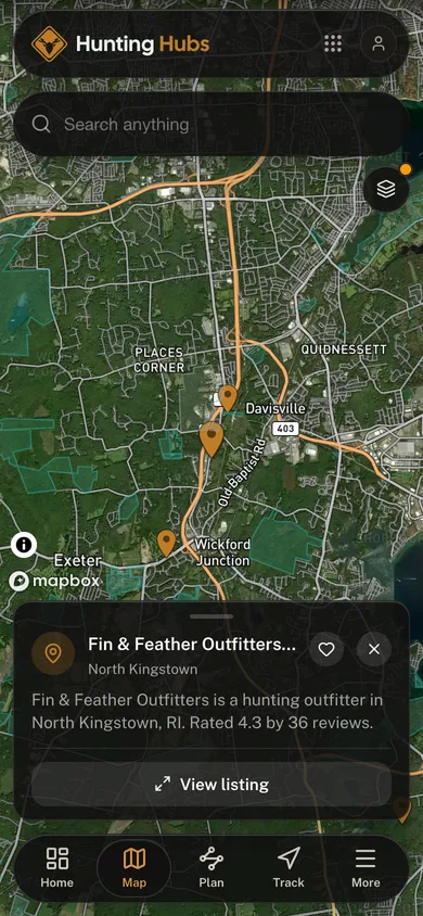
A great hunt starts with the right outfitter, a guide or lodge or preserve that knows the ground, the season, and the game. Browse outfitters across the country on the map below, or pick your state for whitetail, big-game, waterfowl, and turkey specialists near you.
FAQ
Frequently Asked Questions
Everything you need to know before you get started.