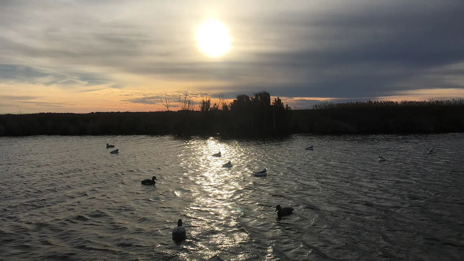
Know Limits Waterfowl OBX
Know Limits Waterfowl OBX
Waterfowl
About
Outfitter details
- Hunt Types
- Waterfowl
- Hunt Styles
- Guided, Lodge
- Game
- Waterfowl
Member reviews
5.0on Google, 9 reviews
Read the reviews on Google MapsRating from Google.
Around here
Around Know Limits Waterfowl OBX
Loading map…
- Pea Island Refuge Boardwalkmoderate · Gravel · 2.5 mi
- Manteo Multi-Use Pathwaymoderate · Paved · 1.3 mi
- FR TR Freedmens Trailmoderate · Mixed · 1.2 mi
- WB TR Historic Monument Trailsmoderate · Paved · 1.1 mi
- Colington Road Multi-Use Pathwaymoderate · Paved · 0.94 mi
- Tracks in the Sandmoderate · Mixed · 0.86 mi
- Lindsay Warren Visitor CenterVisitor center5.8 mi (opens in a new tab)
- Fort Raleigh National Historic SiteRecreation area6.1 mi (opens in a new tab)
- Alligator River National Wildlife RefugeRecreation area6.2 mi (opens in a new tab)
- Whalebone Junction Information CenterVisitor center10.3 mi (opens in a new tab)
- Bodie Island Visitor CenterVisitor center16.3 mi (opens in a new tab)
- Pea Island National Wildlife RefugeRecreation area24.3 mi (opens in a new tab)
Data Source: Recreation.gov · Source: USGS GNIS · Public land: USGS PAD-US · Forest roads: USDA Forest Service MVUM · BLM routes and areas: Bureau of Land Management (simplified for web display)
Current conditions
Today · Sat
79Go/ 100
CloudyHigh 66°F, low 54°FRain 13%Wind 15 kt, gusts 21
Tides
Falling
Low 0.6 ft at 12:17 PM
Predicted at Kitty Hawk (ocean), 9 km away.
Get a 2027 tide calendar for this stationForecast from Open-Meteo global models (NOAA & ECMWF). Tide predictions: NOAA CO-OPS, feet above mean lower low water.
More outfitters
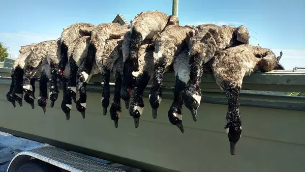


Also nearby
Other ways to get outside within about an hour of here.
Free tools