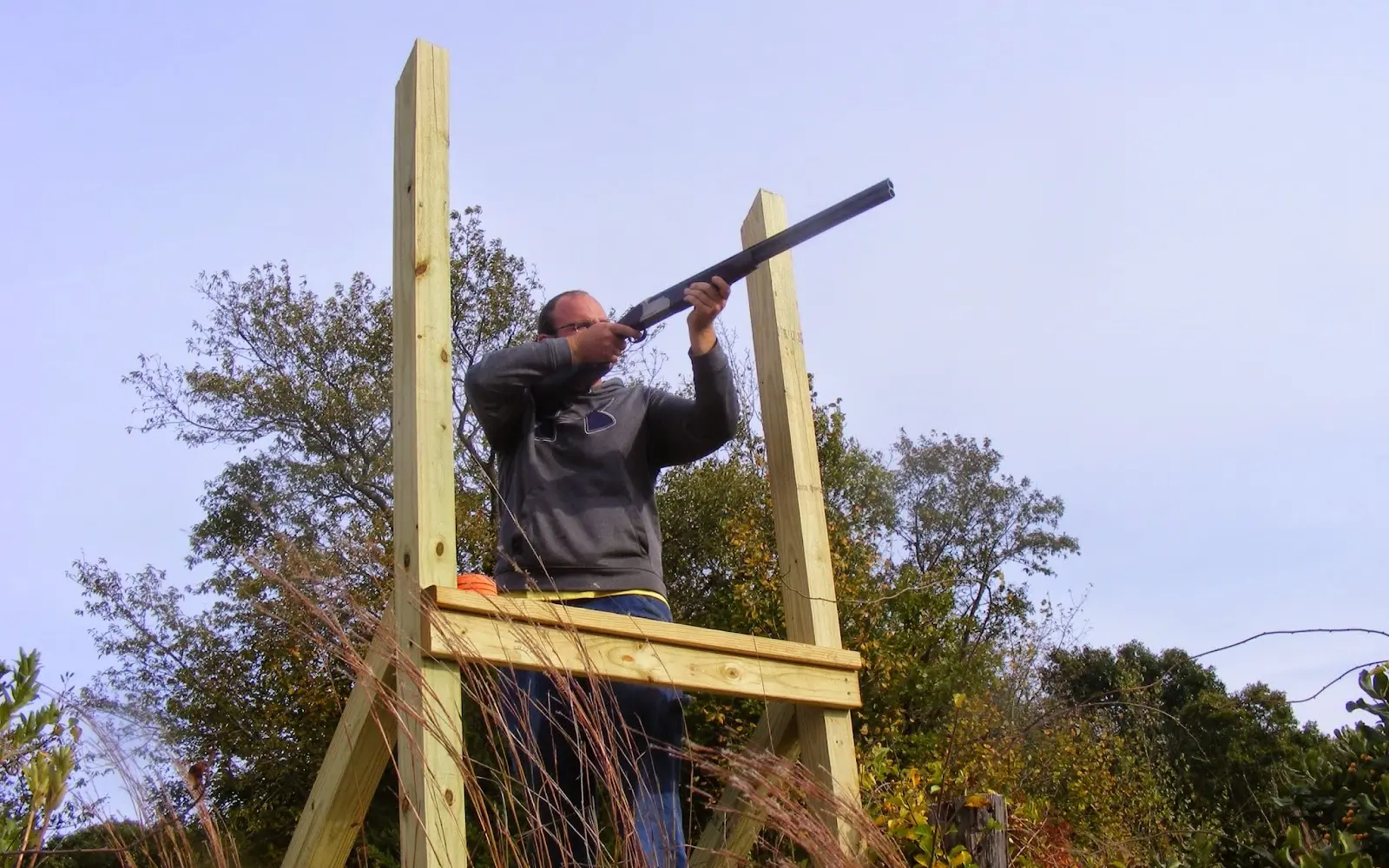
Peace Dale Shooting Preserve
Peace Dale Shooting Preserve is a hunting preserve in South Kingstown, RI.
Gallery
Member reviews
Rating from Google.
Around here
Around Peace Dale Shooting Preserve
1 trail.
- Worden Pond Family CampgroundRV park · ★ 4.45.2 mi (opens in a new tab)
- Fishermen's Memorial State Park and CampgroundRV park · ★ 4.46.5 mi (opens in a new tab)
- Wawaloam CampgroundRV park · ★ 4.48.7 mi (opens in a new tab)
- Charlestown BreachwayRV park · ★ 4.710.9 mi (opens in a new tab)
- Meadowlark Mobile Home & RV ParkRV park · ★ 4.311.7 mi (opens in a new tab)
- Carr Point Recreation RV ParkRV park · ★ 4.412.2 mi (opens in a new tab)
- John H. Chafee National Wildlife RefugeRecreation area2.5 mi (opens in a new tab)
- Trustom Pond National Wildlife RefugeRecreation area7.8 mi (opens in a new tab)
- Narragansett Bay National Estuarine Research ReserveRecreation area12 mi (opens in a new tab)
- Ninigret National Wildlife RefugeRecreation area12.3 mi (opens in a new tab)
- Sachuest Point National Wildlife RefugeRecreation area13.1 mi (opens in a new tab)
- Block Island National Wildlife RefugeRecreation area17.7 mi (opens in a new tab)
Data Source: Recreation.gov · Source: USGS GNIS · Public land: USGS PAD-US · Forest roads: USDA Forest Service MVUM · BLM routes and areas: Bureau of Land Management (simplified for web display)
Current conditions
Today · Wed
95Go/ 100
CloudyHigh 56°F, low 43°FRain 2%Wind 7 kt, gusts 20
Air quality
31 Good
Narragansett monitor, 7 km
Tides
Rising
High 3.0 ft at 9:01 PM
Predicted at Watson Pier, Boston Neck, 6 km away.
Get a 2027 tide calendar for this stationForecast from Open-Meteo global models (NOAA & ECMWF). Air quality: Rhode Island Dept. of Environmental Management via EPA AirNow. Preliminary data, not verified. Tide predictions: NOAA CO-OPS, feet above mean lower low water.
More outfitters in Rhode Island
Also nearby
Other ways to get outside within about an hour of here.
Free tools