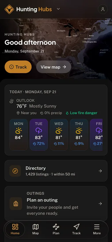
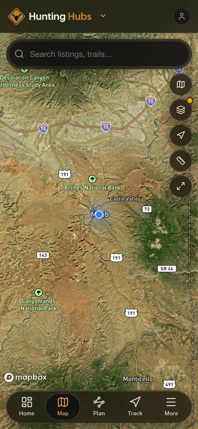
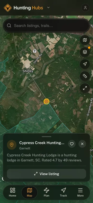
onX Hunt is the default mapping app for American hunters, and it is genuinely excellent at what it does. It is also routinely described, including in a lot of published guides, as doing several things it simply does not do.
So before the workflow, the honest scope.
The Line You Must Not Cross
onX property lines are not a legal survey, and onX says so itself. The parcel data is third-party information sourced from county assessor records. onX states it is typically accurate to within 5–10 feet, may contain inaccuracies, may change at any time, and "does not constitute a legal survey." You are responsible for verifying against official records, and a boundary dispute needs a licensed surveyor.
That matters enormously for a lease, because the whole point of a lease is a legal boundary. Use onX to understand a property. Do not use it to verify one, and never let your club sign a multi-year agreement on the strength of a line on a phone.
The corollary is the one that can actually cost you a citation: trespass liability is yours regardless of what the app shows. "onX said it was public" has never been a defence. The acreage figure isn't measured either, it's inherited from the county assessor, along with everything else in the panel.
What the Parcel Layer Actually Contains
Here is the entire contents of the parcel panel, which is shorter than most articles imply:
| onX genuinely shows | onX does not have |
|---|---|
| Owner name as recorded with the county | Deed information |
| Tax / mailing address for the owner | Sales or transaction history |
| Parcel coordinates | "Recent transaction" flags |
| Acreage (from the assessor, not measured) | Subdivision history or recording dates |
| Public/private land status, colour-coded | Zoning or land-use classifications |
| Topo, roads, water, hunt-unit layers | Liens or unpaid-tax status |
| Waypoints, offline packs, sharing | Easements or existing leases |
If you have read that onX "flags recent transactions," shows "deed information," or displays "zoning classifications," those features do not exist. Neither does the popular trick of inferring subdivision history from how recent boundary lines look, onX exposes no recording dates, and a line on the map carries no indication of its age.
One related myth worth killing: parcel shape tells you nothing about easements or leases. Blocky, regular parcels mean the land was surveyed under the PLSS grid; irregular ones mean metes-and-bounds. That's a map of surveying history, not of legal complications, and since onX renders neither easements nor leases, no shape on the screen can "signal" one.
Coverage is broad but not universal: roughly 3,100 of the country's 3,143 counties, with real variation in quality, and some areas with no parcel data at all.
What It Costs
| Tier | Coverage | Price |
|---|---|---|
| Premium | One state | $34.99/yr |
| Premium, Two States | Two states | $49.99/yr |
| Elite | All 50 states | $99.99/yr |
There is no "regional" plan, the middle option is a second state, not a region. For a club whose members hunt across state lines, Elite is usually the honest choice.
Where It Genuinely Earns Its Keep for a Lease
Strip out the invented features and what's left is still the most useful $35 in hunting.
Find out who you're actually dealing with. The owner name in the panel is the single highest-value field in the app for lease work. If the person offering your club a lease is not the person the county has on record (and they can't immediately explain why (a trust, an LLC, a management company, a family partnership)), you have learned something important in about ten seconds. A tenant farmer cannot lease you hunting rights he doesn't hold.
Understand the shape of the ground before you drive four hours. Acreage, rough dimensions, and how the parcel sits relative to its neighbours will tell you whether a lease is even worth a site visit.
See what's next door. The public-land layer colour-codes federal land, BLM, national forest, refuges and state game land. Knowing whether your lease abuts public ground is a genuine strategic fact: a lease bordering heavily-hunted public land inherits that pressure, and the deer that come off it, while a lease surrounded by private ground holds more resident, less-pressured animals. Neither is better. Both change how you'd hunt it.
Get everyone on the same map. onX's sharing features (shareable links, collaborative folders, and Share Nearby for offline sharing) mean every member of the club is working from the same boundary and the same waypoints, which quietly eliminates most stand-placement and property-line arguments before they start.
Reading the Ground
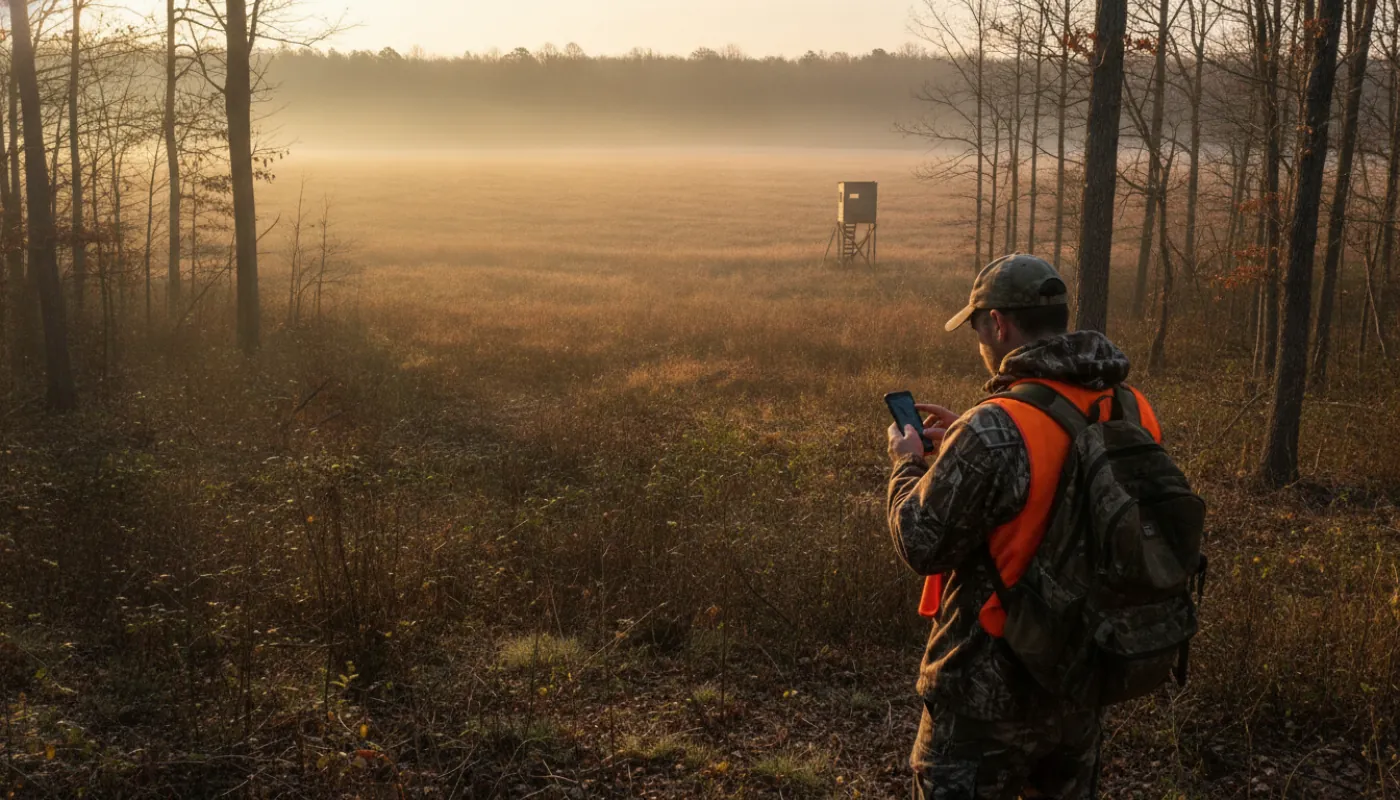
The terrain layers are where onX turns from a records lookup into a scouting tool.
Topography. Contour lines tell you where deer will be before you ever set foot on the place. Look for saddles between ridges (travel corridors), benches on hillsides (bedding), and pinch points where terrain funnels movement. A lease that's all featureless ridgetop offers far fewer places to intercept a deer than a property with a long drainage and a few benches.
Water. Creeks, ponds and stock tanks concentrate game, critical in dry country, and worth knowing before you lease it. Water in exactly one corner means predictable deer, and also means a small property gets hunted out fast if your club isn't careful.
Roads and access. Confirm there is a legal, reliable way in. Note where public roads touch your boundary, because that's where pressure arrives from.
The hunting-specific layers are the real differentiator over a generic mapping app: game management unit and hunt-area boundaries, crop distribution, timber cut, fire history, and possible-access zones.
Download the offline map pack before you go. Cell service on a hunting lease is a coin flip, and the app is far less useful as a paperweight.
A Sane Workflow
- Screen it in the app first. Fifteen minutes tells you the owner of record, the acreage, the neighbours, the terrain, and whether it's near public ground. Plenty of properties can be politely declined at this stage.
- Walk it. Nothing in an app substitutes for standing on the ground.
- Do the real due diligence. Title search, county records, and, for anything you're signing for multiple years, a lawyer, and a surveyor if the boundary is at all unclear.
- Then use onX as the club's shared operating map for the life of the lease: boundaries, stands, cameras, access routes, all in one place that new members can be handed on day one.
That's the honest role: onX is a superb first filter and an excellent field map. It is not a title search, it is not a survey, and it will not keep you out of trouble if you rely on it as one.