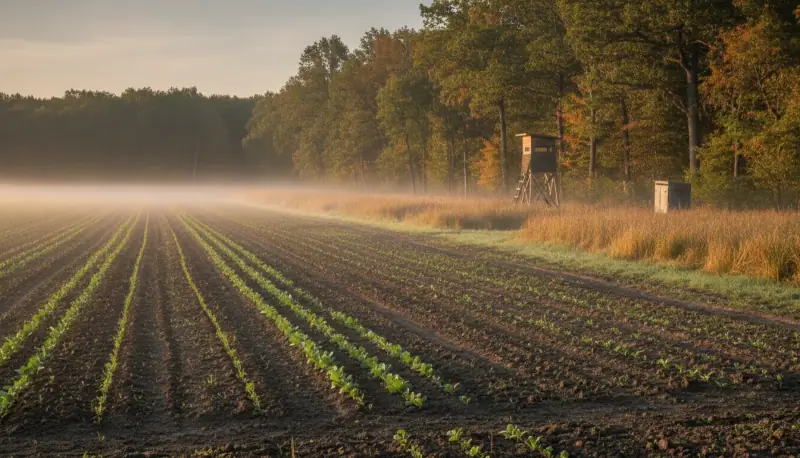
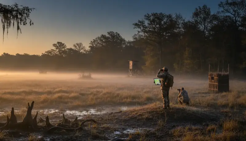
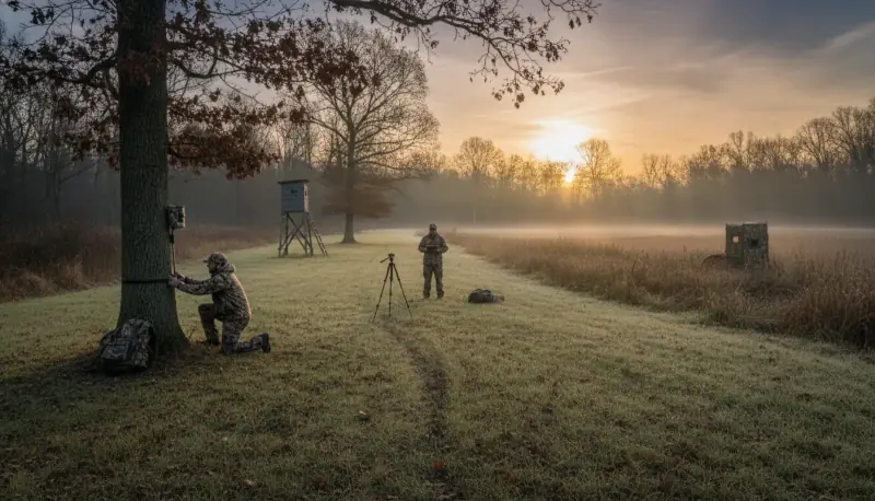
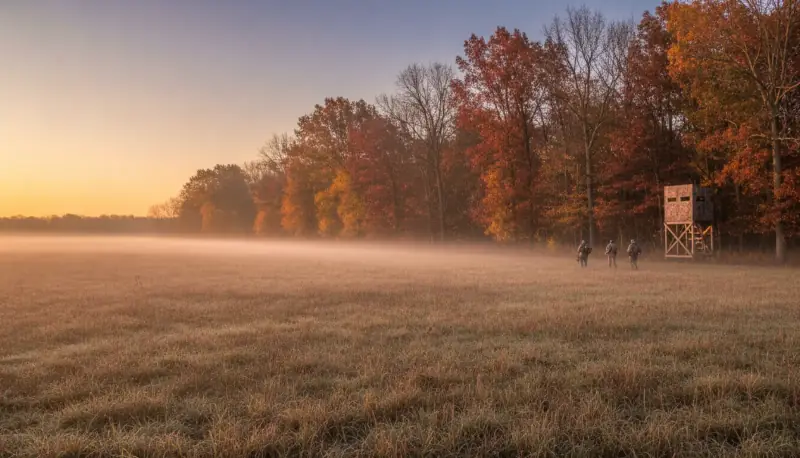
Public land is where most American hunters actually hunt, and pre-season scouting is what separates the people who kill deer on it from the people who park in the same lot as everyone else and hope.
But before the woodcraft, two things that will get you a citation faster than they'll get you a buck.
"Public Land" Is Not One Thing
The rules differ by unit, not just by state, and lumping it all together is how hunters get in trouble.
| Land type | What's different |
|---|---|
| National Wildlife Refuge | Usually requires a refuge-specific hunt permit/brochure carried in the field, on top of your state licence. Refuge-specific seasons, methods, and often quota draws. Some restrict pre-season access entirely |
| State WMA / game land | Frequently requires check-in/check-out, quota or draw hunts, and may restrict pre-season scouting access |
| State trust land | Often needs a separate access permit, New Mexico charges an annual recreational access permit; Montana requires a Conservation License; Washington requires a Discover Pass for vehicle access; Arizona requires a permit or a valid hunting licence while actively hunting |
| National Forest / BLM | Generally the most open, but motorized use is restricted to designated routes on the MVUM |
| Corps of Engineers / walk-in access programs | Each has its own enrolment rules and access windows |
An article that tells you to go walk a unit in August needs to also tell you that on some refuges and WMAs, walking it in August is not allowed. Check the specific unit before you drive.
What You May Legally Leave Behind
You will want to hang a camera and a stand. Slow down.
Trail cameras are banned outright on public land in several states: Kansas (all public lands and Walk-In Access), Arizona (statewide, for take), Nevada (public land, 1 Aug – 31 Dec), Utah (31 July – 31 Dec), Idaho (transmitting cameras, 30 Aug – 31 Dec).
Stands and blinds are widely restricted too: the Allegheny National Forest prohibits leaving stands, blinds and cameras across a defined window and requires owner ID on them; Tennessee WMAs bar personal property left unattended more than 24 hours without approval; most Wisconsin public land prohibits overnight treestands. On Forest Service land generally, gear left past the posted limit can be treated as abandoned and removed.
Marking your trail is also regulated. Flagging tape and reflective tacks are prohibited on some units (Land Between the Lakes, for one) and restricted to biodegradable materials on others. If you need to find your way in the dark, mark it on your phone, not on the trees.
And e-bikes are motor vehicles. The Forest Service classifies all e-bikes, including Class 1 pedal-assist, as motor vehicles, so they're legal only where motorized use is designated on the MVUM. BLM allows them on non-motorized routes only where a specific land-use decision says so. It is not a blanket permission, and "it's basically a bicycle" is not a defence.
The Pressure Research, And Why It's Better News Than You Think
Here's where public-land advice gets fabricated constantly. You'll read that "80% of hunters use 20% of the land," or that "most hunters won't walk more than two miles from the road." Both are invented.
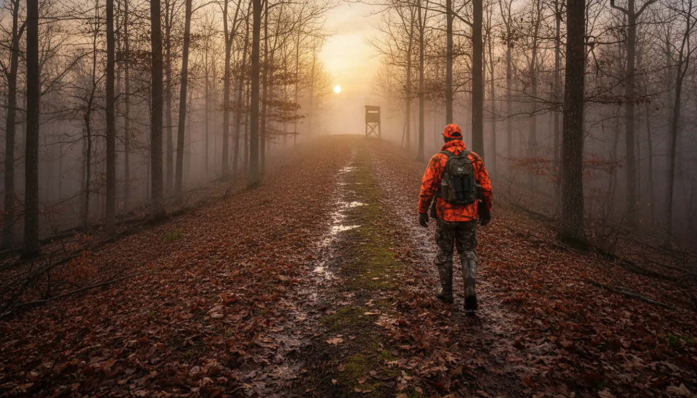
What the actual research found is far more useful. A Penn State study of deer hunters across a 114,000-acre state forest found that 87% of hunters stayed within about half a kilometre, roughly a third of a mile, of a road, and that hunters were about three times less likely to hunt an area for every additional 500 metres from a forest road. Slope had a similar effect: steeper ground meant fewer hunters.
Read that number again, because it changes your whole plan. The threshold isn't two miles. It's about a third of a mile.
That's enormously good news. You don't need an epic four-mile death march into the backcountry to find unpressured deer, a fact that also means the guy prescribing that march is sending you past huntable, ignored ground to get there. Half a mile of honest walking, or one steep climb, puts you beyond where the overwhelming majority of hunters ever go. Spend your scouting time finding the awkward half-mile, not the heroic four miles.
Look for what actually filters people out: distance from any road, a climb, a creek crossing without a bridge, a nasty blowdown, ground that doesn't show on the obvious trail. Those are your zones.
Map Work Before Boot Work
Start at the kitchen table with onX Hunt, CalTopo, or your state's GIS portal. Layer boundaries, contours, water, and the road network into one view.
The purpose is elimination. You're asking where the road network funnels people, which drainages are annoying to reach, and where the terrain creates funnels. Mark access points in a different colour from hunting zones.
Do not assume a road on the map is drivable. Seasonal gates, closures, and parking restrictions are invisible on a map and obvious when you're standing at a locked gate with your whole weekend gone. Call the managing agency before you go.
Reading Sign in Late Summer
Once you're on the ground, you're reading recent history, and in late August and early September, fresh sign is close to current sign.
Look for rubs (yes, already. A common piece of bad advice says to ignore rubs and scrapes because "they don't appear until October." Bucks begin rubbing as soon as they shed velvet, which in the North is late August to mid-September), squarely inside your scouting window. Early rubs are the single most useful buck-specific sign you can find right now. (Scrapes are the ones that ramp up in October.)
Read beds and trails. Look for bedding in cover on shaded, north-facing slopes and benches. Trails with tracks running both directions are live; faint, debris-filled trails are not.
Don't over-read droppings. Deer pellets persist for weeks to months, their mere presence tells you nothing about a 24-hour window. Only condition does: wet and shiny is fresh, dull and dry is a day or more, crusted and cracked is old. A guide telling you scattered pellets mean a deer bedded there last night is handing you false confidence to build a stand site on.
Water matters in early season, before mast drops. Trails converging on a creek, seep or tank are a concentration point, and the ground between them is your ambush.
Turning It Into a Plan
By the end of scouting you want at least two ranked zones, each with a route walked and timed, so you can execute it in the dark without hesitating.
Write down the parking spot, the route, how long the walk takes, the wind that makes the spot work, and a backup zone for the morning you arrive and find someone else's truck already there. Because you will.
Print the map. Take a pencil. Update it every hunt, the map you finish the season with is worth more than the one you started with.
The edge on public land is not secret spots. It's that most hunters never leave the first third of a mile, never call the agency, and never check whether their camera is legal. Do those three things and you're already hunting different ground than nearly everyone in the parking lot.